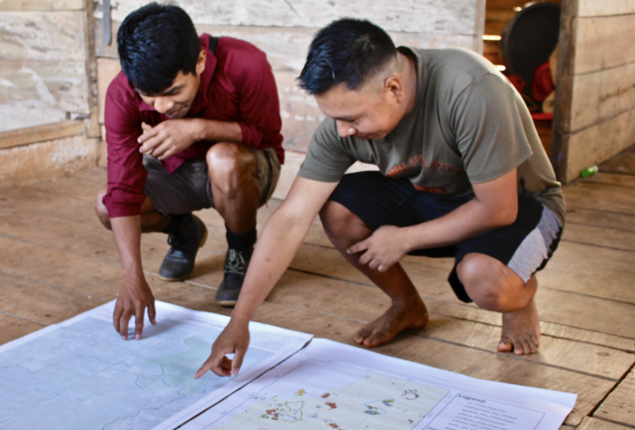
On a blazing February morning, the Indigenous Wounaan territorial monitoring coordinator, two forest technicians, and a local farmer climbed into the mountains outside the fishing and farming community of Majé, near Panama’s Pacific coast. As they crossed the river, the farmer stopped and pointed up at an anteater in a tree. It was unusual to see this type of anteater here, he said — anteaters generally live higher up in the mountains, but deforestation has pushed them out of their natural habitat.
The Indigenous men were out to map a recent, illegal clearcut that had spread through the forest adjacent to the farmer’s land. The 27-acre cut was an encroachment on Wounaan territory by cattle ranchers originally from the Azuero Peninsula, a once-forested area now decimated by cattle ranching. Seeking fresh pasture, the ranchers were moving into traditional Wounaan lands.
The community had heard the buzz of the chainsaws. They had smelled the smoke from the burning land and the reek of chemical herbicides sprayed by the invaders. Wounaan technicians had used mapping software on their smartphones to pinpoint the site of the illegal land clearing they were now investigating. With this data, the Wounaan of Majé submitted a complaint to the Wounaan National Congress, which then filed a complaint with Panama’s environment ministry, known as MiAmbiente.
